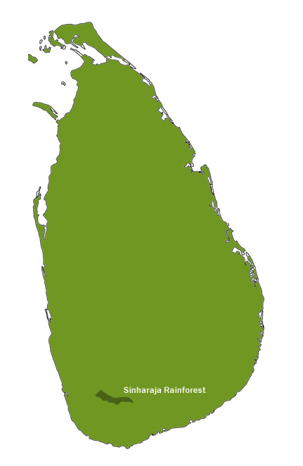
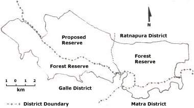
At present, the Sinharaja MAB Reserve covers an area of 8,800 hectares of nature and modified forests. The Reserve lies in the south-west of the island at 6021' - 60 26' N. and 800 21' - 800 34' E. It measure 21 kilometers in length, and if 7 kilometers in width at its widest point and 3 kilometers at its narrowest. It consists of approximately 6,091 hectares (15,054 acres) of Forest Reserves and 2,773 hectares (6,850 acres) of Proposed Reserves


The boundaries of the Reserve consist of several rivers and streams ; Napala dola (dola - stream) and Koskulana ganga (ganga - river) in the north ;Kalukandawa ela (ela - stream) and Pitakele ganga in the west ; and Maha dola and Gin ganga in the south. The eastern boundary however is marked by an ancient footpath which runs the village of Denuwakanda.
The Reserve spills over into 3 administrative districts, and the boundary which divides the Sabaragamuwa Province from the Southern Province runs through it